

In order to help explain the “North Hall Mystery” (or at least, shed some more light on it) a dowse of the North Hall Sites was arranged. On a visit to the sites on 13th September 2000, the results of the dowse were discussed with members of the History Group. This is the report of this visit.
Please note that the sites discussed here are on Private Land. The dowse was carried out with the full permission of the owner of the land.

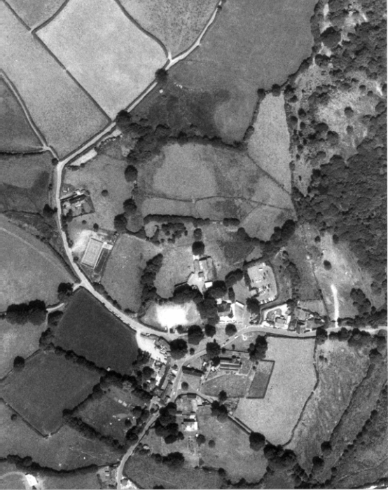
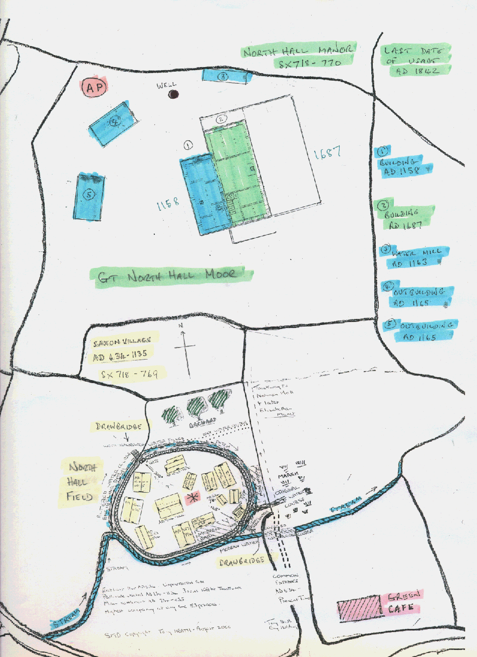
The aerial photo on the left shows the site. it is a north-south view, with north at the top. You should be able to locate the fields if you look in conjunction with the dowser’s map on the right. This map contains quite a bit of detail on the dowser’s findings. Whatever your views, it is worthy of your examination.

We should explain that the “Mystery” is partly that there are two fields which have signs of being the original North Hall site: a more southerly field, which is the one noted as the North Hall Site on Ordnance Survey maps, and a more northerly field, known as “Great North Hall Moor”, which is the field on which the crop marks appeared. It was therefore decided to dowse both fields.
We should also point out that it is hoped to add further evidence concerning these fields in the future through a geo-physical survey and through archaeology, time and costs permitting.
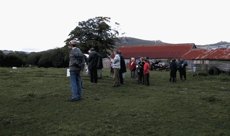
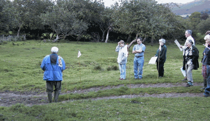
Two dowsers independently dowsed the fields. The group as a whole only visited the site with one of the dowsers, Tony Heath, although some members were present for both visits.

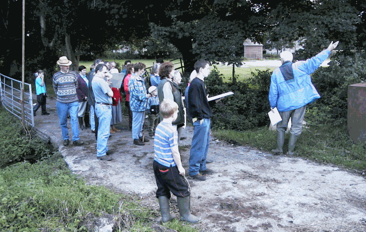
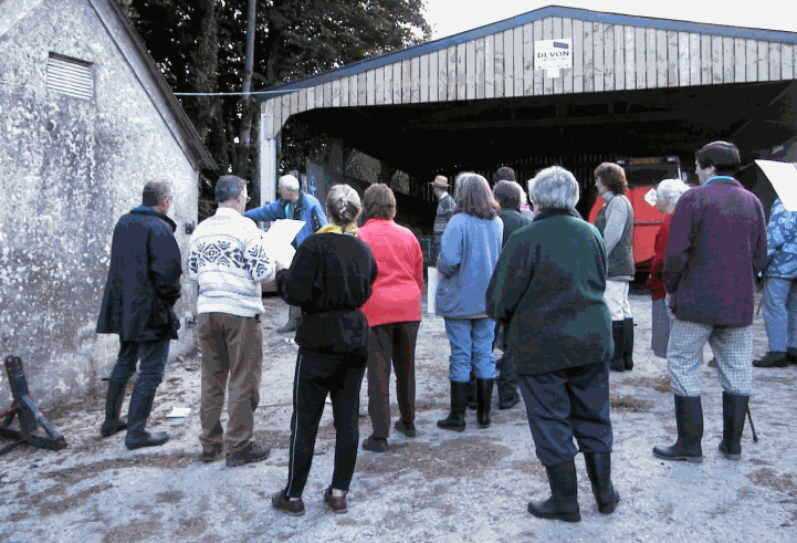
We gathered on Widecombe Village green and walked up the trackway to the Farm. We stopped in the farmyard to hear about the boundaries of the area and the river/stream routings as they would have been several hundred years ago, before the present farm buildings were erected.

We then moved on to the first field. The field has a definite pronounced hump shape, rising from the edges of the field towards the centre.


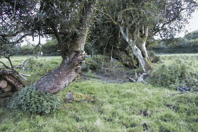
It also has what looks very like a “moat” or stream bed surrounding it. These pictures attempt to show the stream bed. The dowser said that he found evidence of a Saxon settlement here, with a fair number of buildings, probably wooden in construction, with perhaps six or so being in use at any one time and the others being built as previous ones deteriorated. There was also evidence of a bridge (drawbridge?) over the stream bed to the north-west. The route, which would have been followed over the bridge, is now just a muddy track.


The shape of this field, with its hump in the middle looks a good site for dwellings as it would have been raised above possibly marshy ground. It is also possible that the hump was, at least partially, man-made by digging out the stream-bed, although that would be a very large task.

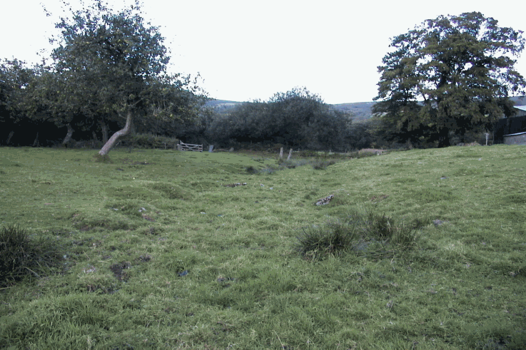
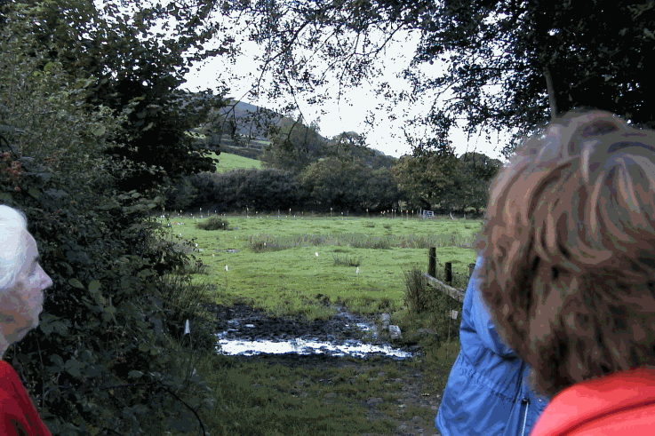
We left this field towards the north-east and came onto a point in an approximately north-south line between Hameldown and Widecombe church. A strong energy line runs along this line. There are a number of ancient burial barrows on Hameldown and there is a suggestion that the Church is also positioned on an ancient site and that there have been many other churches positioned there prior to the present one. The picture shows the view northwards and you can see the layout in the Great North Hall Moor Field.

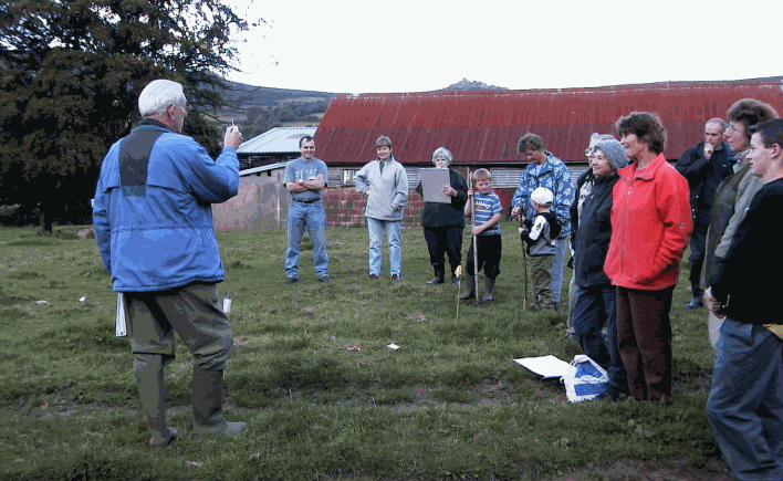
We then walked north into the field known as “Great North Hall Moor”. Tony had laid out a huge array of flags denoting the outlines of buildings. He went as far as thickness of walls and doorways. His view was that a substantial Norman (and later) building used to occupy this site and that there was a mill wheelhouse on the northern stream and stables etc scattered about. The photos are deteriorating at this point because it was late evening and the light was going, but you can get some idea of the scale of the buildings, of which there is absolutely no sign above ground today.
